.webp)
Handy GPS
(Paid)Version: 43.5
By: BINARYEARTH
Size: 14.00 MB
Release Date: 25 Jan 2026
Download APK How to Install APK FileBrand Name : BINARYEARTH
Developer : BinaryEarth
App Size : 14.00 MB
Email Id : info@binaryearth.net
Version : 43.5
Privacy Policy : Click Here
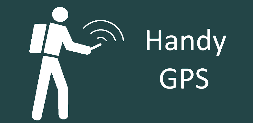
Handy GPS — Your Ultimate Outdoor Navigation Companion Handy GPS is the perfect companion for your next outdoor adventure. Seek, find, record, and return home with confidence. Whether you’re hiking, mountain biking, kayaking, horseback riding, geocaching, or exploring remote backcountry areas, Handy GPS keeps you on track—even where there’s no network connection. It’s also ideal for surveying, forestry, archaeology, mining, and other professional fieldwork. Use UTM or latitude/longitude coordinates to integrate seamlessly with your paper maps. Note: For reliable tracklog recording when your screen is off, allow the app to always access GPS and disable battery optimization for Handy GPS.
Handy GPS — Frequently Asked Questions (FAQ)
❓ What is Handy GPS?
Handy GPS is a powerful outdoor navigation app designed for adventurers and professionals alike. Use it for hiking, mountain biking, kayaking, horseback riding, geocaching, or exploring remote backcountry areas. It also works for surveying, forestry, archaeology, mining, and other fieldwork.
📍 Can I use Handy GPS offline?
Yes! Handy GPS works without network connectivity. You can record tracklogs, save waypoints, and navigate even in the remotest areas.
🧭 How do I save locations?
You can save your current location as a waypoint with one tap. Each waypoint can include latitude/longitude, UTM/MGRS coordinates, and optional notes or photos.
🗺️ Can I navigate to a saved location?
Yes. Use the Goto screen to navigate to any waypoint. You can also enable alerts as you approach your destination.
🧰 What map and coordinate formats are supported?
-
Coordinate formats: UTM, MGRS, latitude/longitude
-
Datums: WGS84, AGD66, AGD84, AMG, GDA94, MGA, NAD83 (US), OSGB36 (UK), NZTM2000 (NZ), SAD69 (South America), ED50 (Europe), plus custom local grids.
-
Grid references: Simple or MGRS; UK grids supported with OSGB datum
🗂️ Can I import/export data?
Yes. Handy GPS supports KML, GPX, and CSV files. You can import routes and waypoints, or export your tracklogs and locations for sharing or backup.
📷 Can I take photos or record voice memos?
Yes. You can take geo-tagged photos and record voice memos, all linked to KML files. You can also embed coordinates and bearing directly into images.
🛰️ How does Handy GPS handle GPS and altitude?
-
Displays your current coordinates, altitude, speed, direction, and distance traveled
-
Compass page works with magnetic field sensors
-
Automatic geoid offset computation improves altitude accuracy
-
GPS averaging mode for more precise locations
-
Graphical display of satellite positions and signal strength
⏱️ Can I track my activity?
Yes. Handy GPS lets you record tracklogs, measure distance and direction between waypoints, track duration and average speed, compute elevation change, and even calculate calories burned.
🗺️ Are offline maps supported?
Yes. You can download map tiles, import pre-prepared base maps, or register your own images.
💡 Extra features
-
No ads, no subscriptions — pay once and enjoy all features
-
Unlimited waypoints and tracklog points
-
Share locations via email or SMS
-
Elevation profiles and sunrise/sunset times
-
Create waypoints by triangulation or projection
-
Optional background images and web location sharing
-
Spoken distance and direction guidance on the Goto page
🔒 What permissions does the app require?
-
GPS — to show your location
-
Network access — to load maps
-
SD card access — to save/load waypoints
-
Camera — for geo-tagged photos
-
Prevent phone from sleeping — for proximity alarms
-
Flashlight control — optional use of flashlight
-
Record audio — for voice memos
⚠️ Safety Disclaimer
Use Handy GPS at your own risk. The developer is not responsible for accidents, getting lost, or injuries. Mobile batteries can run out, so for long or remote trips, bring a backup power bank and a paper map and compass.
Popular Apps

.webp)
.webp)


New Apps
.webp)


.webp)

.webp)
.webp)
.webp)
.webp)
.webp)
.webp)
Latest Apps
.webp)
.webp)
.webp)
.webp)
.webp)
.webp)
.webp)
.webp)
.webp)
.webp)
.webp)
Total Reviews: 1
5 ★
4 ★
3 ★
2 ★
1 ★
Top Apps
-
.webp) Endel: Focus, Relax ⭐ 4.7
Endel: Focus, Relax ⭐ 4.7 -
.webp) Zen: Relax, Meditate ⭐ 3.7
Zen: Relax, Meditate ⭐ 3.7 -
.webp) Accupedo Pedometer ⭐ 4.4
Accupedo Pedometer ⭐ 4.4 -
.webp) Doodle Art: Magic Drawing App ⭐ 4.1
Doodle Art: Magic Drawing App ⭐ 4.1 -
.webp) Word Cloud ⭐ 4.1
Word Cloud ⭐ 4.1 -
.webp) PeakFinder ⭐ 4.3
PeakFinder ⭐ 4.3 -
.webp) Pass2U Wallet - Add store card ⭐ 4.0
Pass2U Wallet - Add store card ⭐ 4.0 -
.webp) Travel Tracker - GPS tracker ⭐ 3.8
Travel Tracker - GPS tracker ⭐ 3.8 -
.webp) OruxMaps GP ⭐ 4.0
OruxMaps GP ⭐ 4.0 -
.webp) PeakVisor - 3D Maps & Peaks Id ⭐ 3.9
PeakVisor - 3D Maps & Peaks Id ⭐ 3.9 -
.webp) Planes Live - Flight Tracker ⭐ 4.3
Planes Live - Flight Tracker ⭐ 4.3